
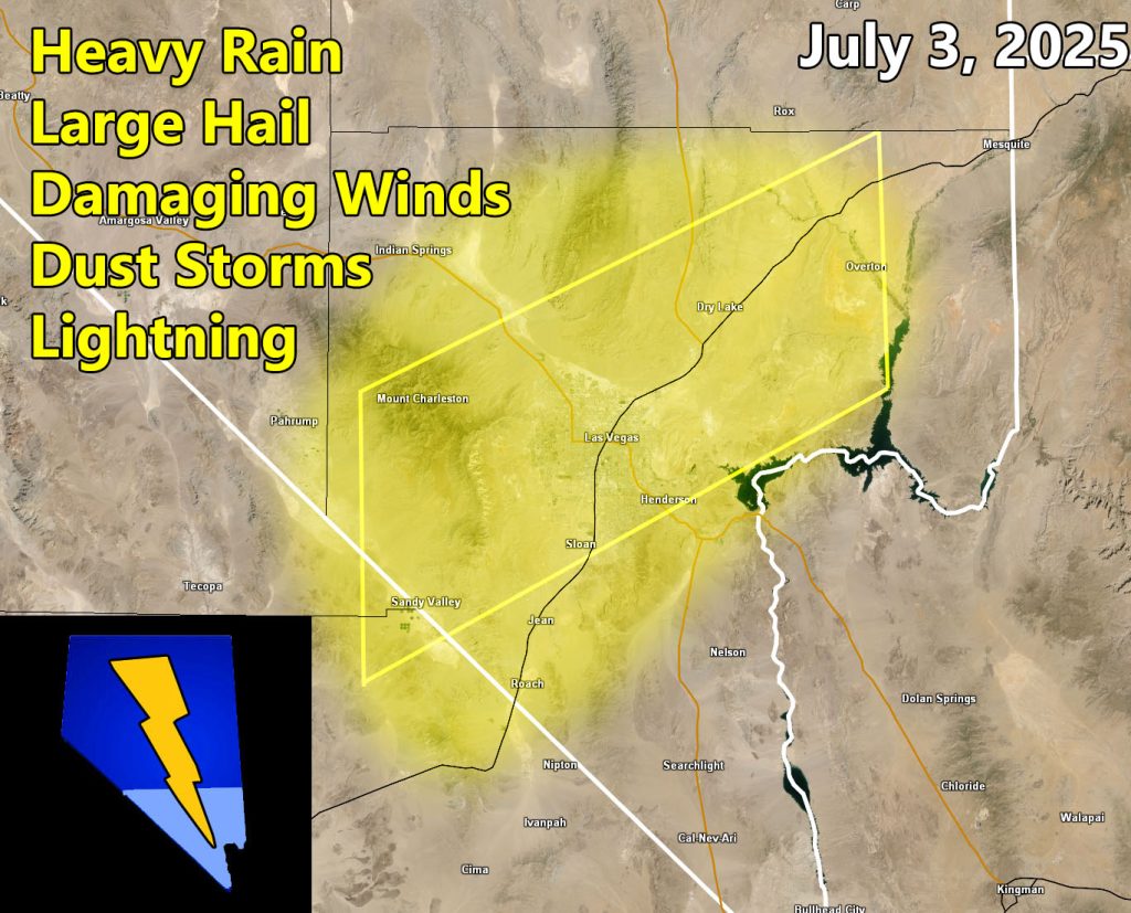
Las Vegas Weather Force has upgraded from a weather advisory to a Severe Thunderstorm and Dust Storm Watch effective Tuesday, September 2nd, 2025, for the following zones;
Issued Zones: Clark County
Date Issued: September 2nd, 2025 at 10:00am local
Discussion: Severe Thunderstorms forming in Northwest Arizona will move westward this evening. These storms will cross the AZ/NV line along the Colorado River Valley and into the Metro areas. They will be on a weakening trend from your Arizona counterpart, but they still will pack a punch across the Southern half of Clark County. For the northern half of the county, expecting less storm coverage and more in the way of a dust storm from the southeast as the storms move south of your area. Interests in the Hoover Dam will be met with frequent lightning, damaging winds, hail, and flooding. Interests for the helicopter tours will need to check with the company as these will most likely ground the helicopter tours to the Grand Canyon as severe storms will indeed be present.
A Severe Thunderstorm Watch is issued at Las Vegas Weather Force when conditions are possible for severe thunderstorms, covering over 50% of the watch zone, with damaging winds of over 50 mph and large hail in the stronger storms. Severe Thunderstorm Watches at Las Vegas Weather Force are private, issued ahead of time to the public by LVWF as the lead-time is extremely important to you.
Raiden Storm
Master General Meteorologist